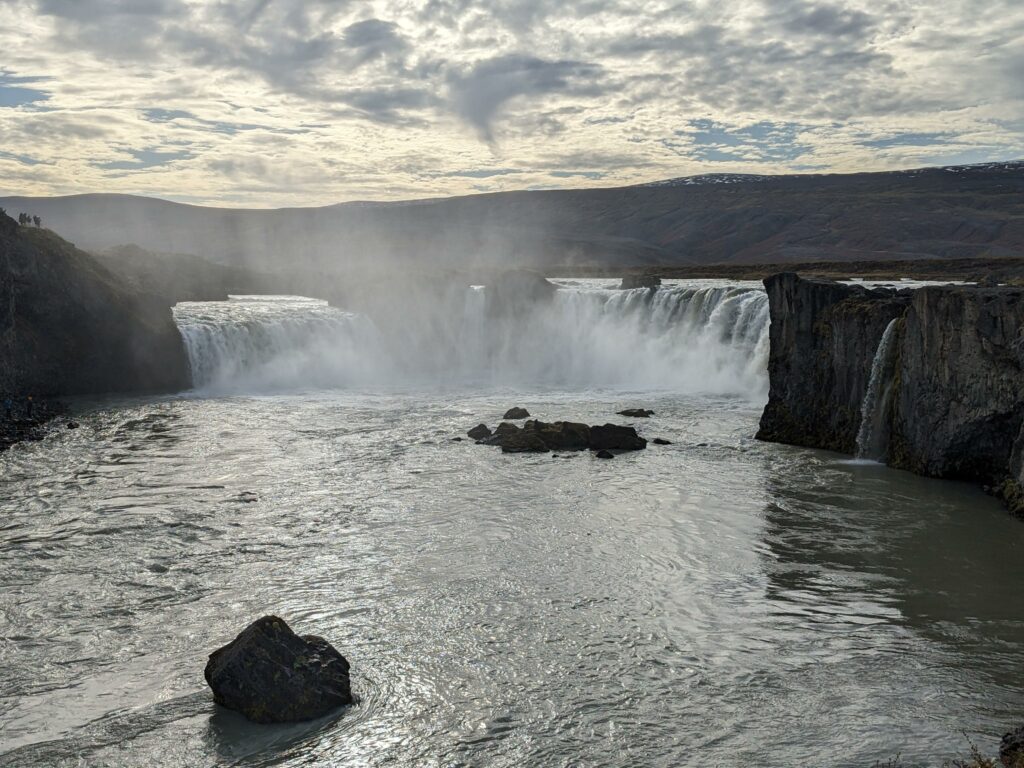
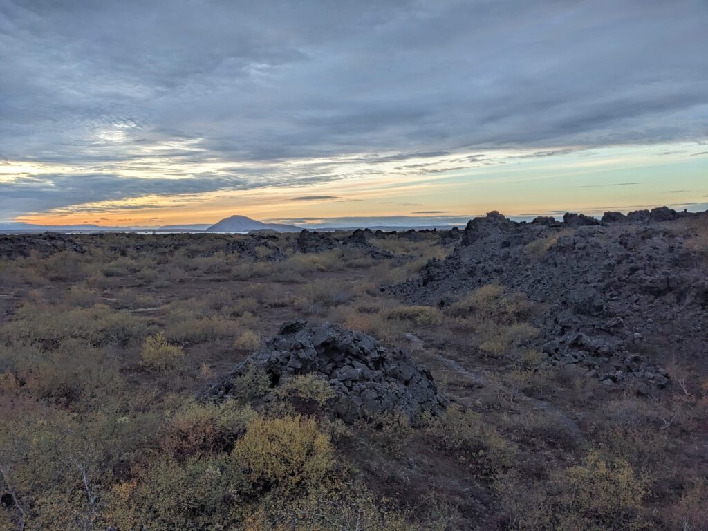
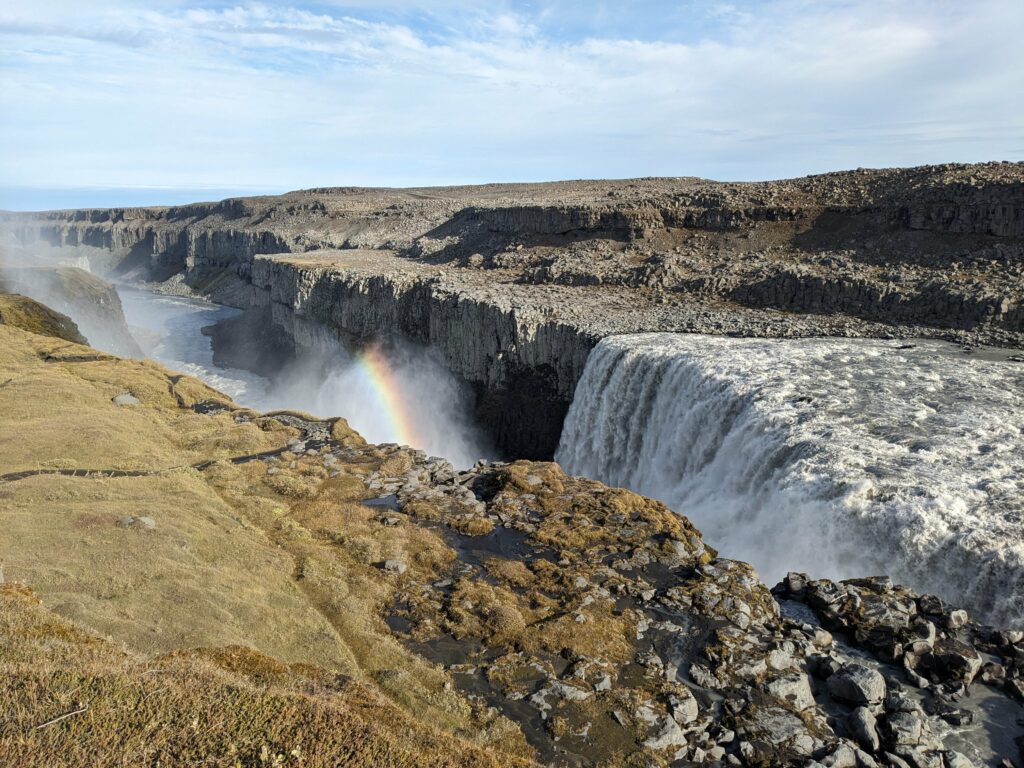
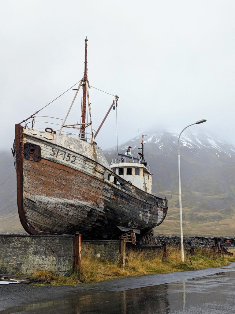
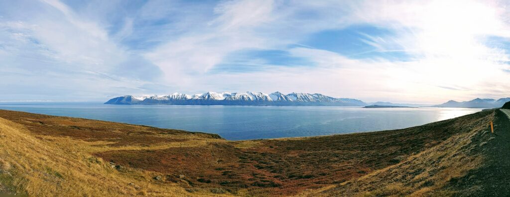
From dramatic Dettifoss, we continued heading east along the ring road through the wildest and emptiest landscapes we’d seen yet.


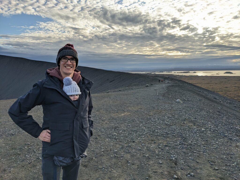
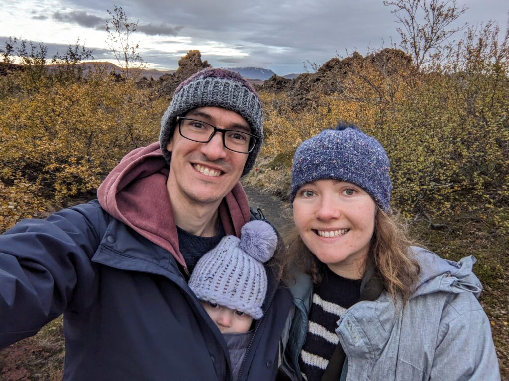
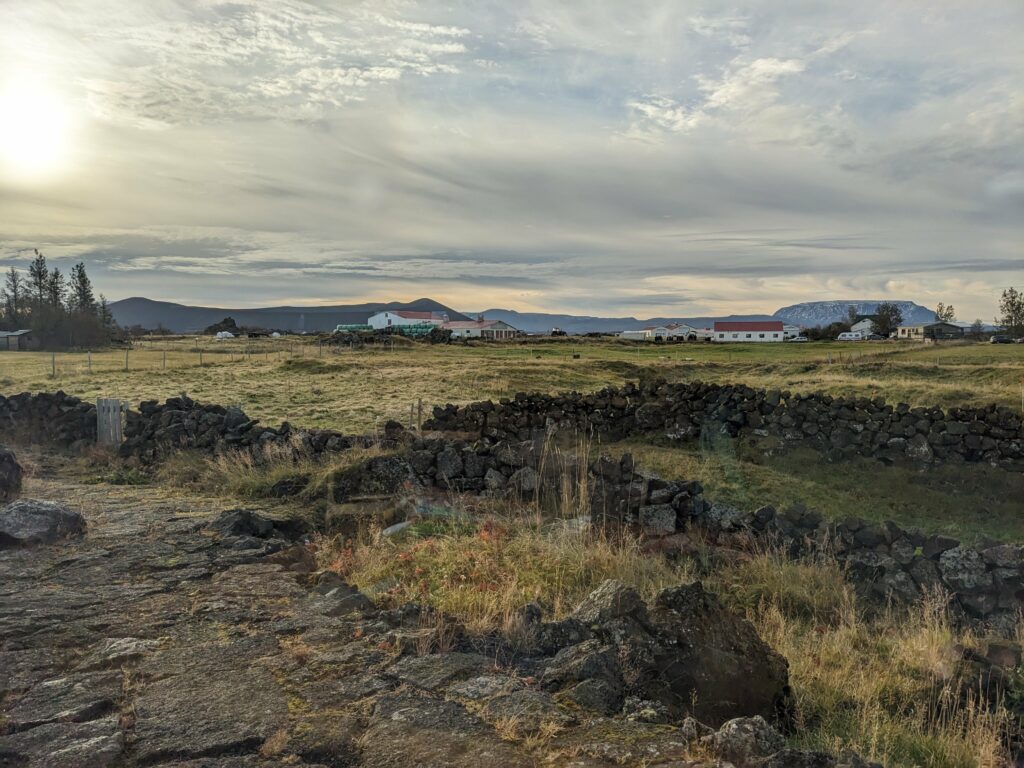
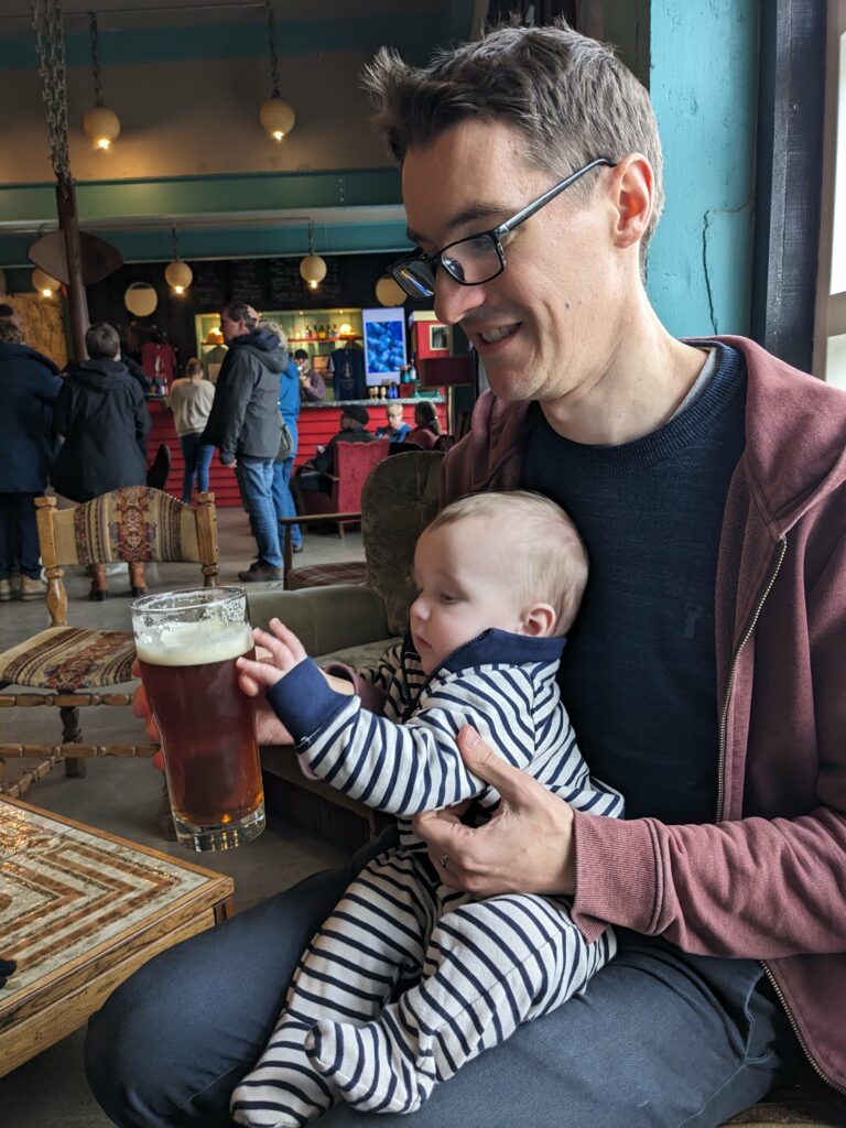
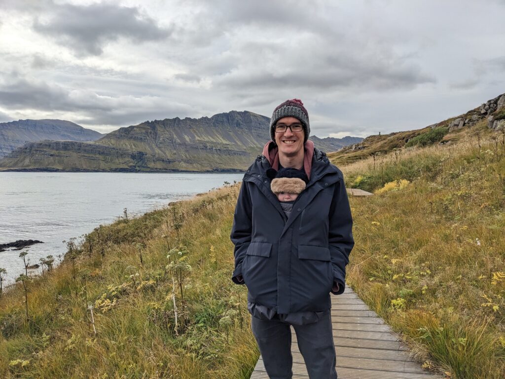
That’s something I’m loving about Iceland – every few hours, the landscape totally changes, and not gradually either. We cross some invisible boundary, and suddenly a grassy plain turns to a mossy lava field, or rocky mountains turn to hills alive with autumn colour. My action photos are not the best on this trip as I’ve been busy juggling photography with sitting in the back and entertaining a baby, so you’ll just have to take my word for it!
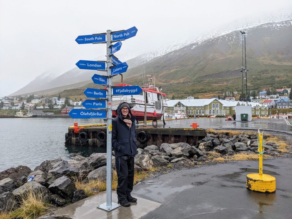
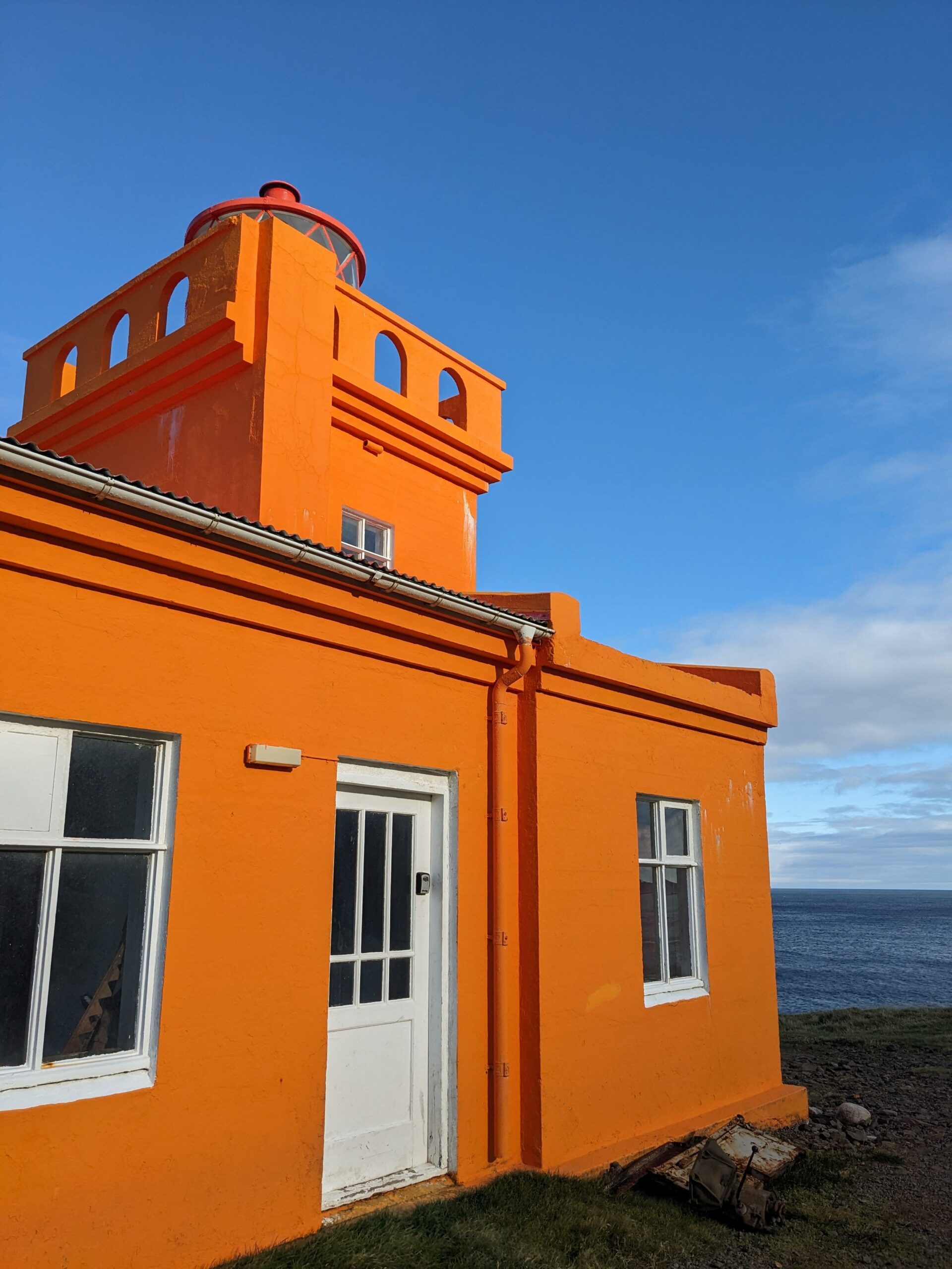
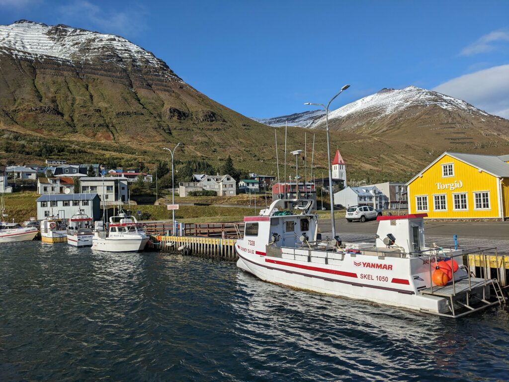
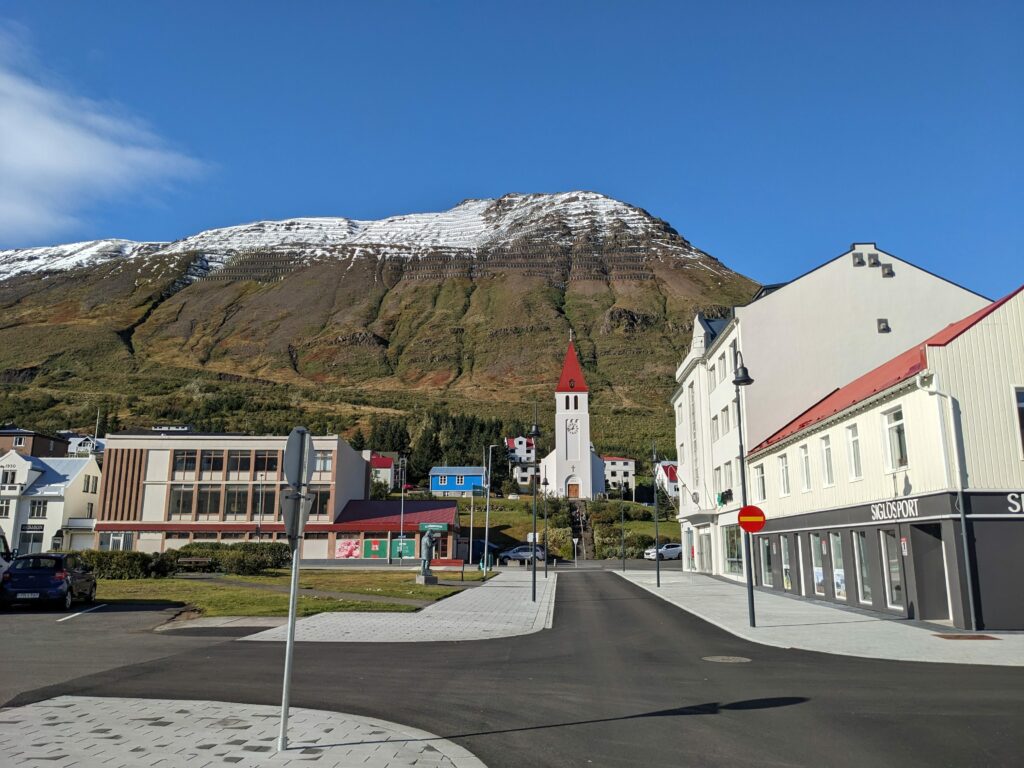
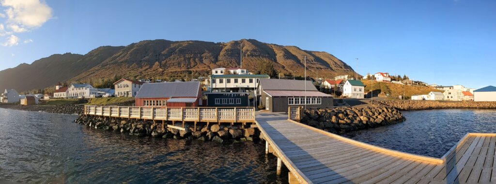
Anyway, our destination was the small town of Neskaupstaður, with a dramatic fjordside setting that led out to the Norwegian Sea. I say small town – it’s actually the third largest in the region, but with a population of just 1500, it certainly didn’t feel that way. We were tempted to visit mostly because we’d read that Neskaupstaður sat right at the end of the road going eastwards, and for some reason, this appealed.
We slowed down for a day here, which was much needed after racking up well over 1000 km on our hire car already. Our first activity was a walk through a nature reserve to Easter Cave, trying (unsuccessfully) to spot whales on the way. This was a very pleasant stroll, but I think this Google review about captures it, “Since there is not much to see in Neskaupstaður, this is considered some kind of must see if you are staying in the area.” Hmm!
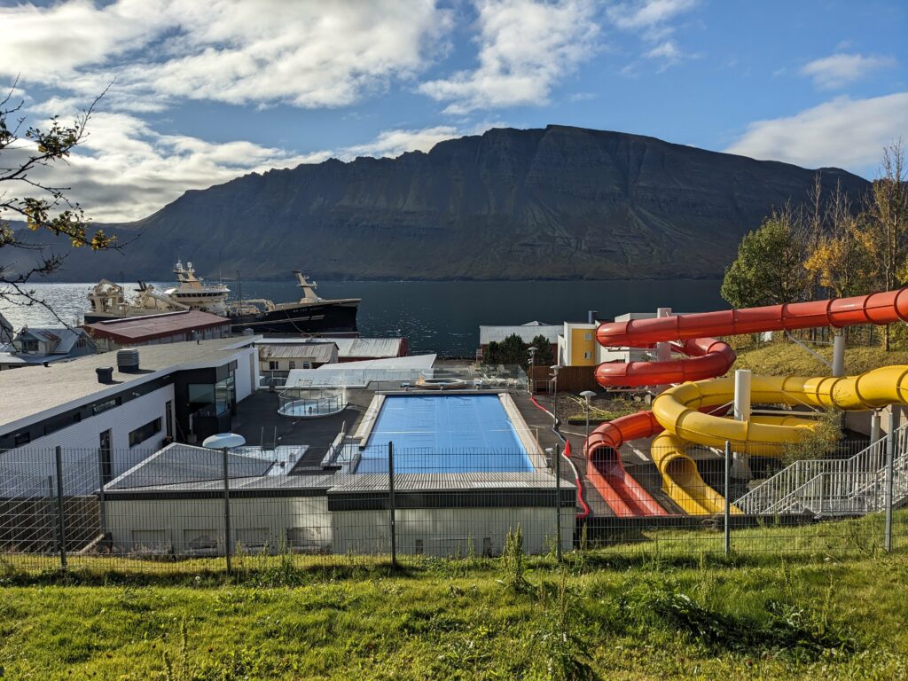
My second activity involved leaving Oli and Alex (who was supposed to be napping) and heading off to the local outdoor swimming pool. This might sound like an odd activity, but I’d read that swimming pools are a community hub and an important part of the culture here. It was great to experience yet another country’s bathing customs and etiquette, after some fun times in Georgia, Kazakhstan, South Korea, Japan and New Zealand. The pool (and whole town, actually) was so quiet that I had no witnesses to anything I might have been doing wrong but there was also no one to copy! Anyway, I think I managed not to break any cardinal rules by broadly following what I’d learnt in Japan:
- Remove shoes at the earliest opportunity! (There were shoe racks outside the changing rooms so that was a fairly obvious hint)
- Shower thoroughly without a swimming costume before entering the pools. (This was less obvious but thankfully I’d read about this in advance. The key difference to Japan is that you’re then expected to put on a swimsuit to go in the baths themselves – no nudity there)
- Dry off before re-entering the changing rooms. (Why is this not a rule at home?! It makes the changing rooms so much more pleasant without a mix of mud and pool water all over the floor)
Anyway, as always it was a lovely experience, even if the main pool was inexplicably covered so I had to split my time between the hot pots and the sauna instead (nightmare).
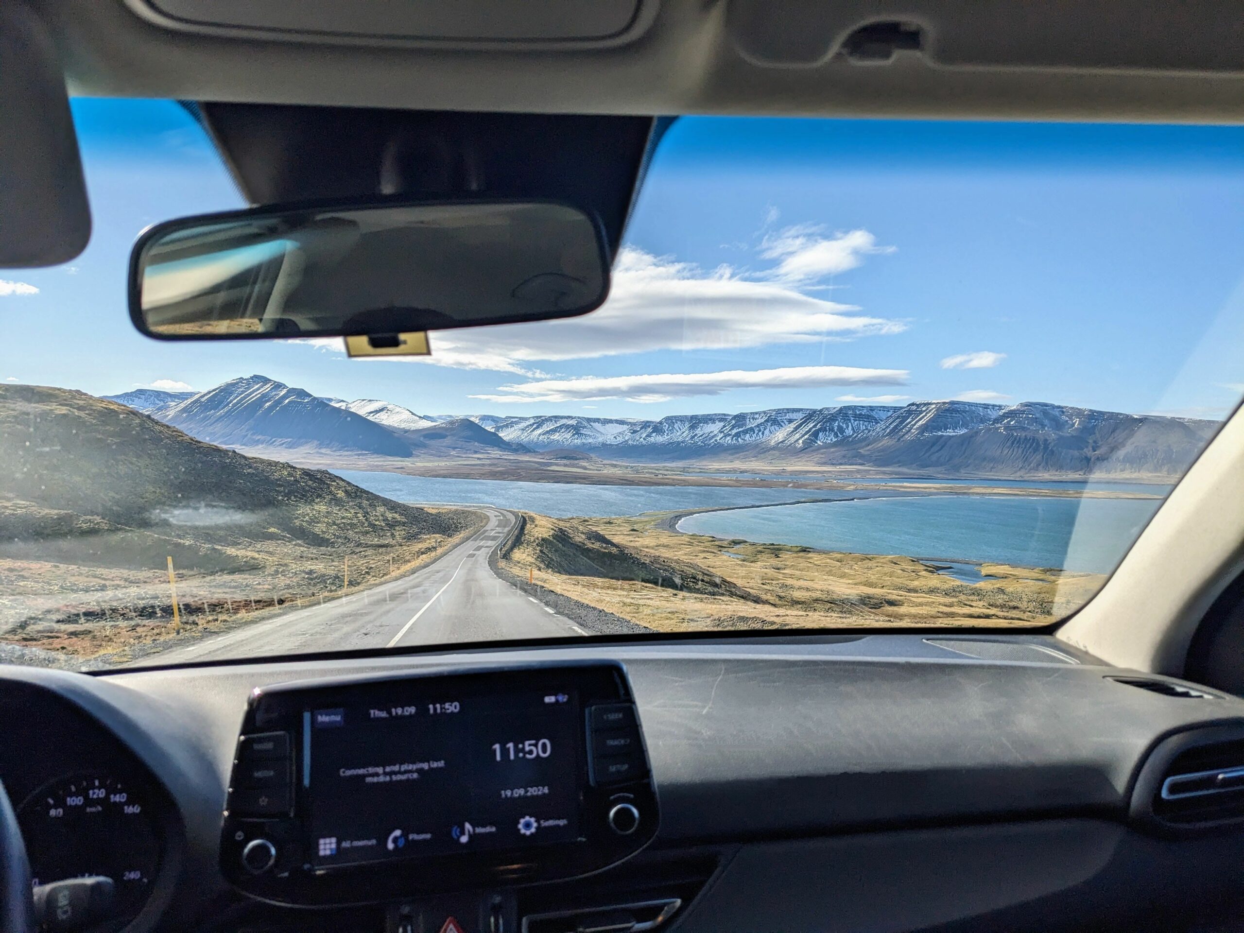
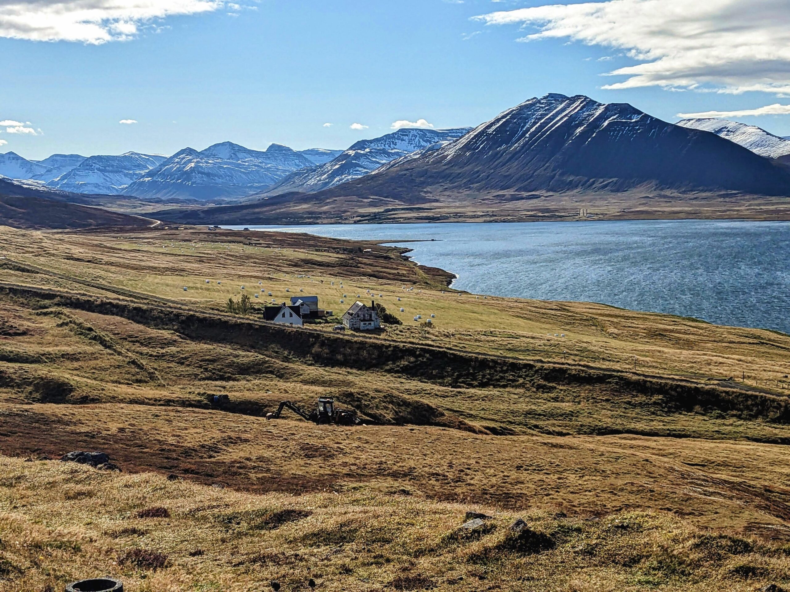
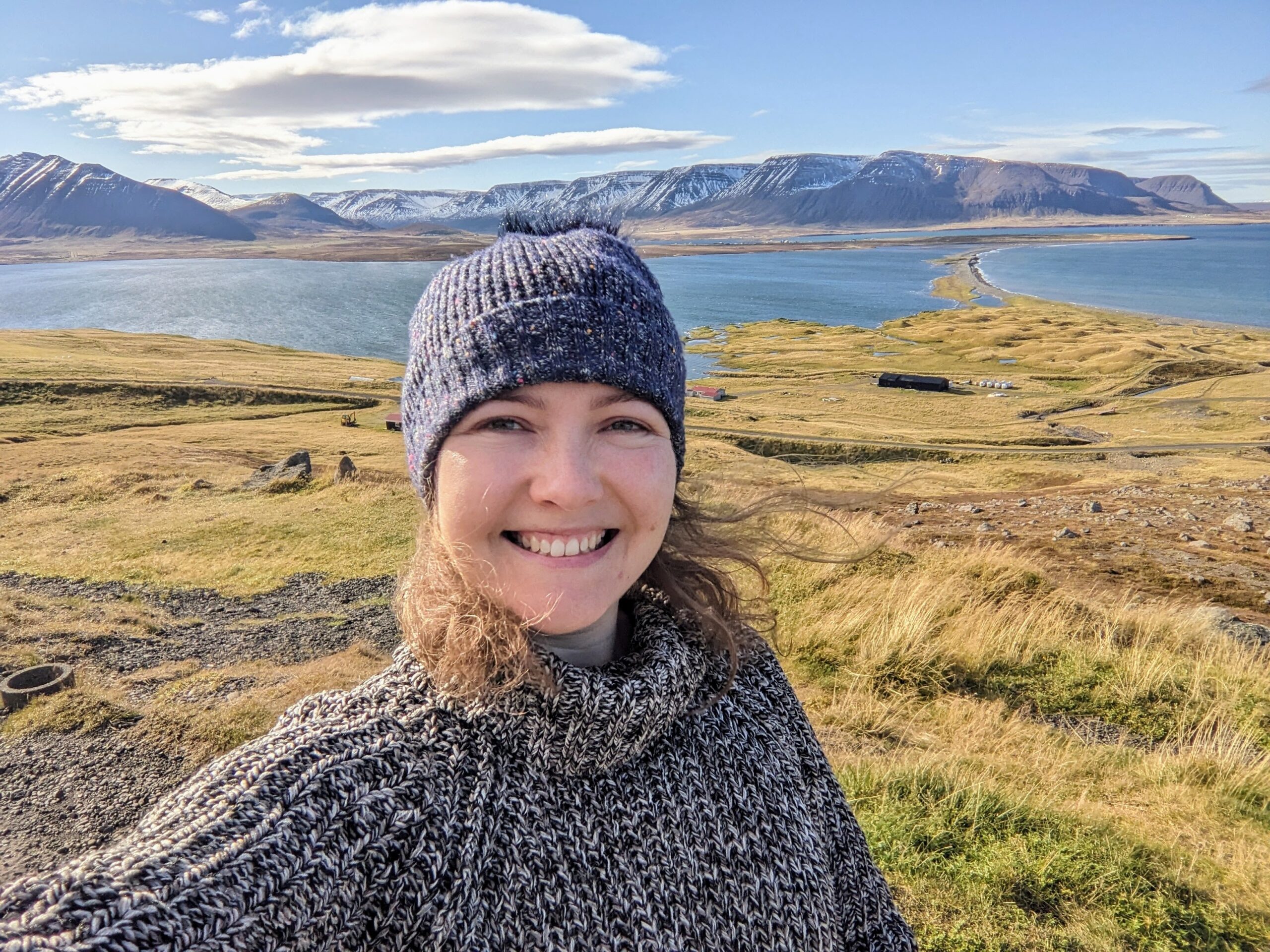
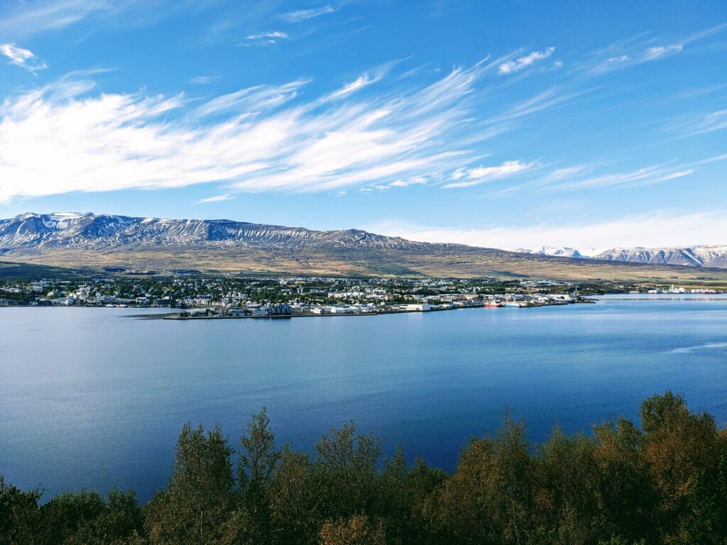
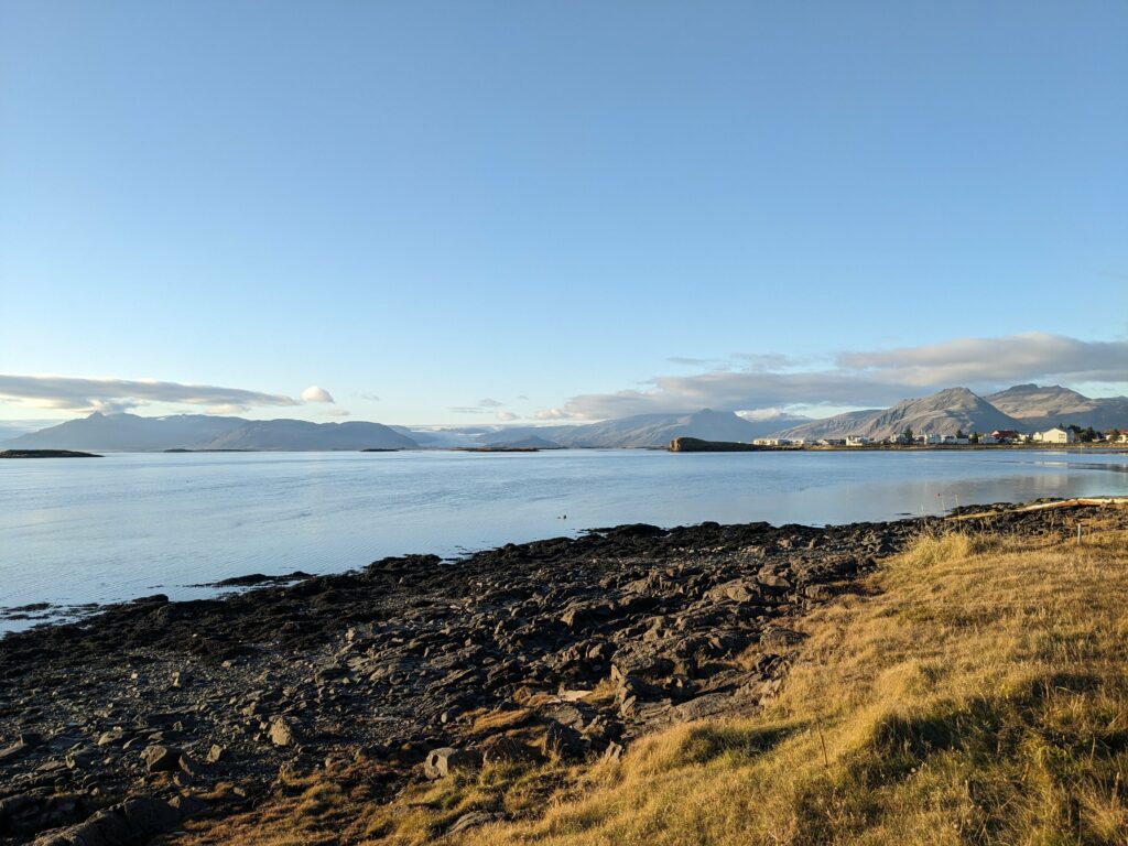
The next day, we began our drive south. The ring road here traces the inlets of the Eastfjords region, which meant it was slow going, but we were rewarded with more beautiful scenery of wild rocky mountains running down to the calm blue sea. Once again, my photos don’t do the landscape justice at all! It was this day that we commented that Iceland is at least as beautiful as NZ, our nearest similar reference point.


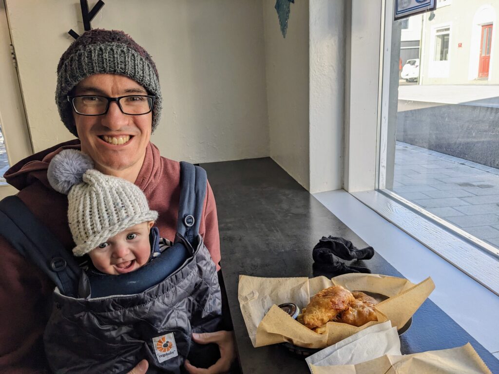
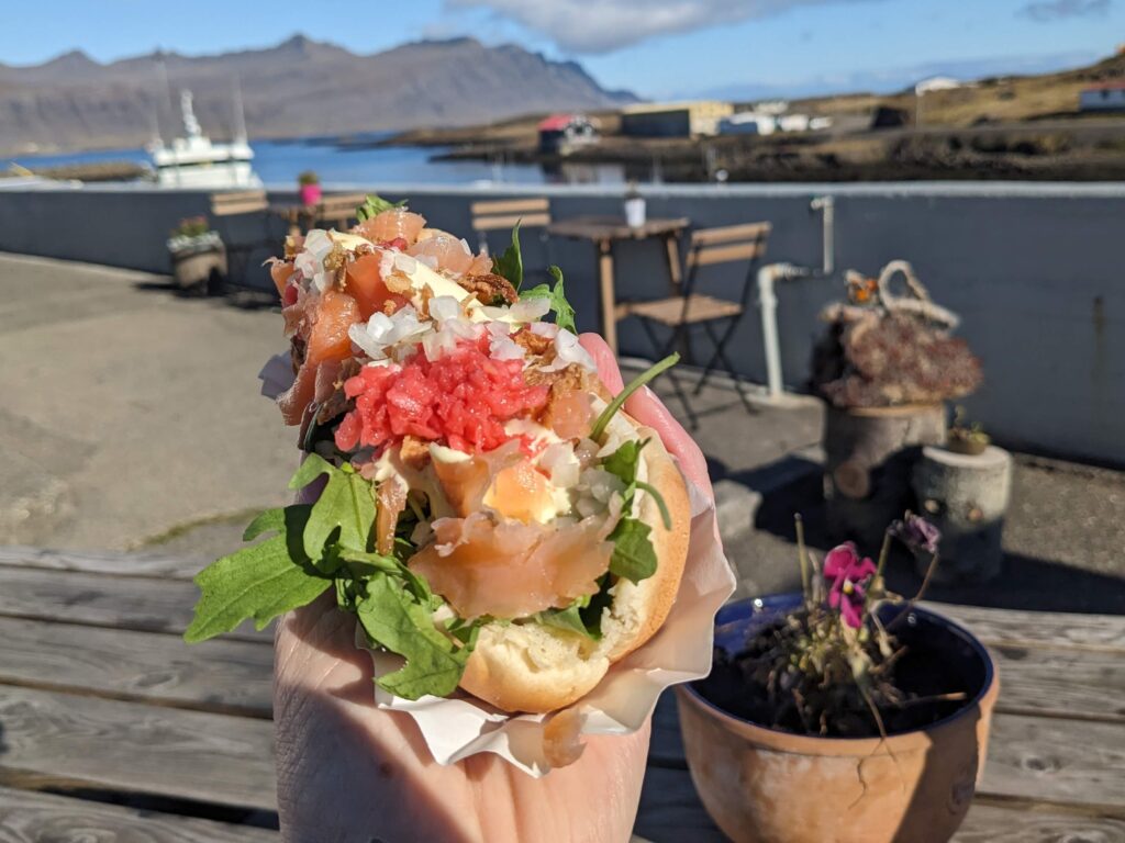
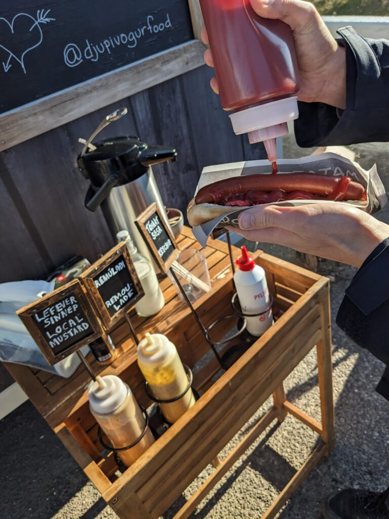
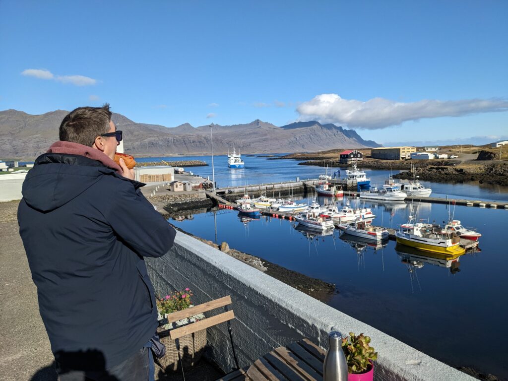
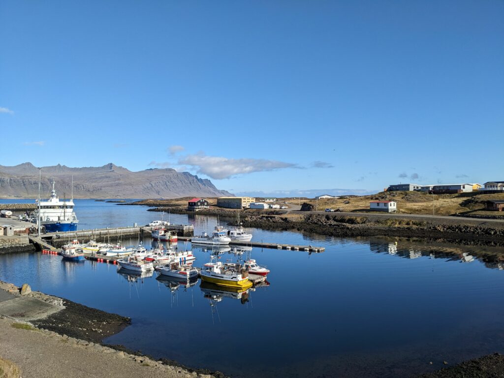
As on previous days, we passed very few towns and so our stop for lunch in Djúpivogur was driven as much by necessity as any kind of planning, but it provided one of those excellent travel moments where we felt very pleased with ourselves and with life. We came across a food truck run by the loveliest man, who was reminscing about how he used to transport his son in a carrier just as Oli was carrying Alex. We ordered both items on the menu (a hot dog for Oli and a local smoked salmon roll for me) and then ate in the glorious sunshine with a view of the harbour. My roll was a thing of beauty, topped with raw and fried onions, pickled radish, rocket and remoulade. Oli’s hot dog was so good that he went back for a second one! (I may have talked him into this so I could have a bite). Buoyed by our success, we then came across a cosy cafe where we shared a coffee and delicious slice of carrot cake.
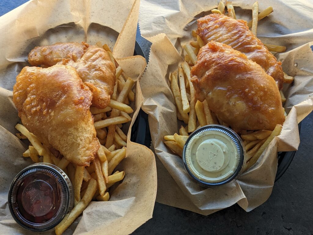
To round off an excellent day of food (which, frankly, has been tricky with a restless baby who doesn’t like us to sit down to eat), we stopped for some dinner in Höfn. The fish and chips were predictably excellent, but the view across the fjord to the Vatnajökull ice cap really claimed the prize.
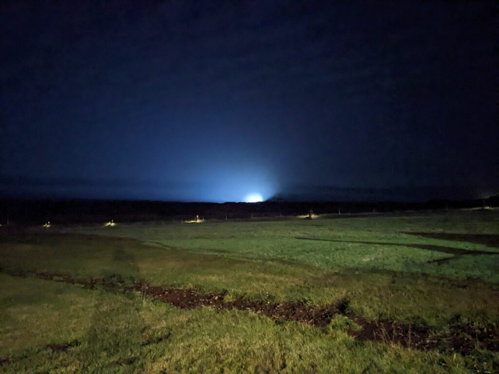
We ended the day in a guesthouse in the shadow of the huge Vatnajökull ice cap that takes up pretty much all of the south-eastern corner of Iceland. The aurora forecast wasn’t looking that promising, but the skies were clear and there was very little light pollution so it seemed worth popping out at midnight. I’d read that using a long camera exposure can help you to spot the Northern Lights even before they are visible to the naked eye, and there was something light on the horizon so I was feeling pretty excited and gave it a go. Anyway, long story short – I didn’t see the Northern Lights and instead you can enjoy a picture of what turned out to be a lorry approaching on the ring road in the distance!
Now firmly back on the tourist trail, we took the next couple of days to enjoy the sights of southern Iceland.