Northern Iceland in two waterfalls and a volcano 💦🌋

We left behind Akureyri, the capital of the north, and headed east along Iceland’s ring road. This leg of the journey featured a couple of stops around Lake Mývatn (situated in an active volcanic area, sandwiched between trips to two famous waterfalls.

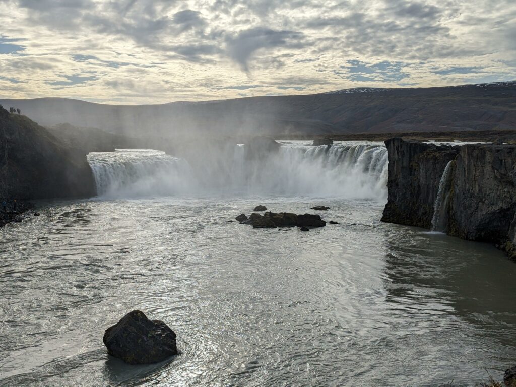
Stop 1: Goðafoss

Iceland’s wet climate and mountainous terrain are two key ingredients that ensure that its tens of thousands of waterfalls keeping roaring all year round. And while many waterfalls lie far from the main roads, Goðafoss is located right on the ring road and was just too convenient to drive past. Its name translates as “Waterfall of the Gods” – legend has it that the Lawspeaker of Iceland threw his statues of the Norse Gods into the waterfall after declaring Christianity the official religion of Iceland in 1000 AD.

This was an impressive start to our tour of Icelandic waterfalls, but a bit of a lonely stop as Sara and I walked out to the waterfall separately – Alex was fast asleep in the car and we didn’t dare disturb him!

Stop 2: Hverfjall volcano

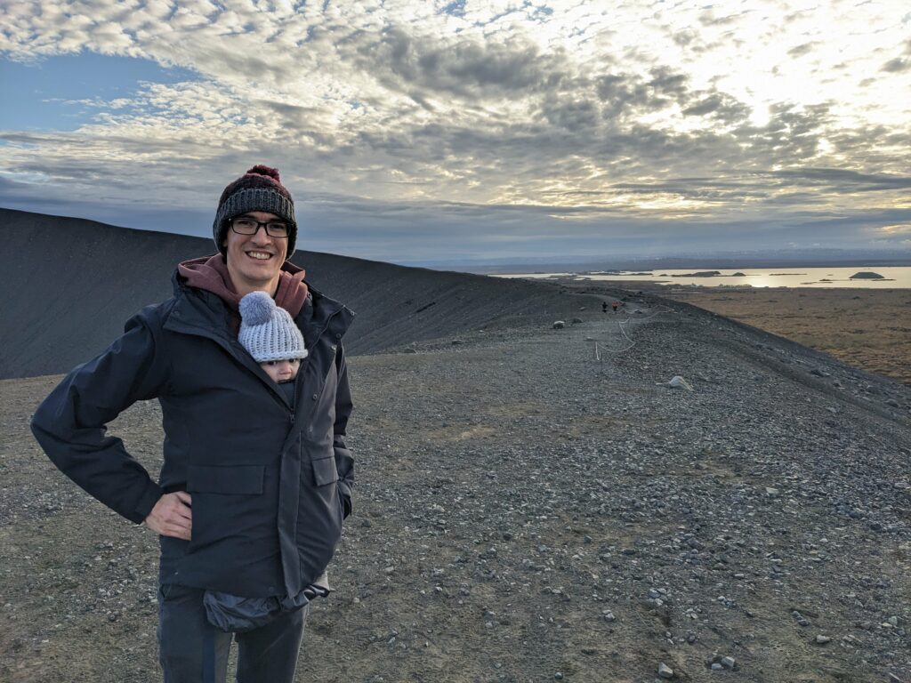
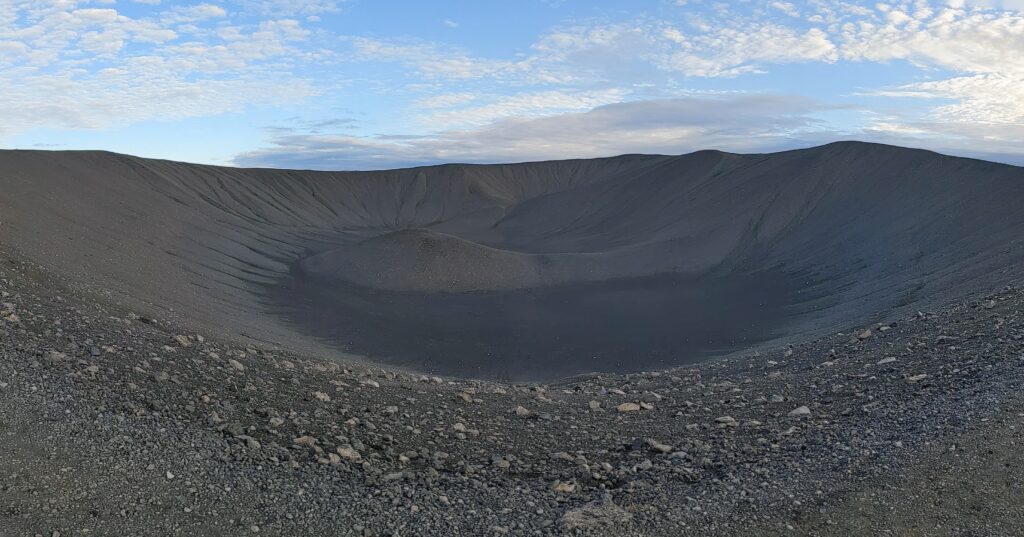
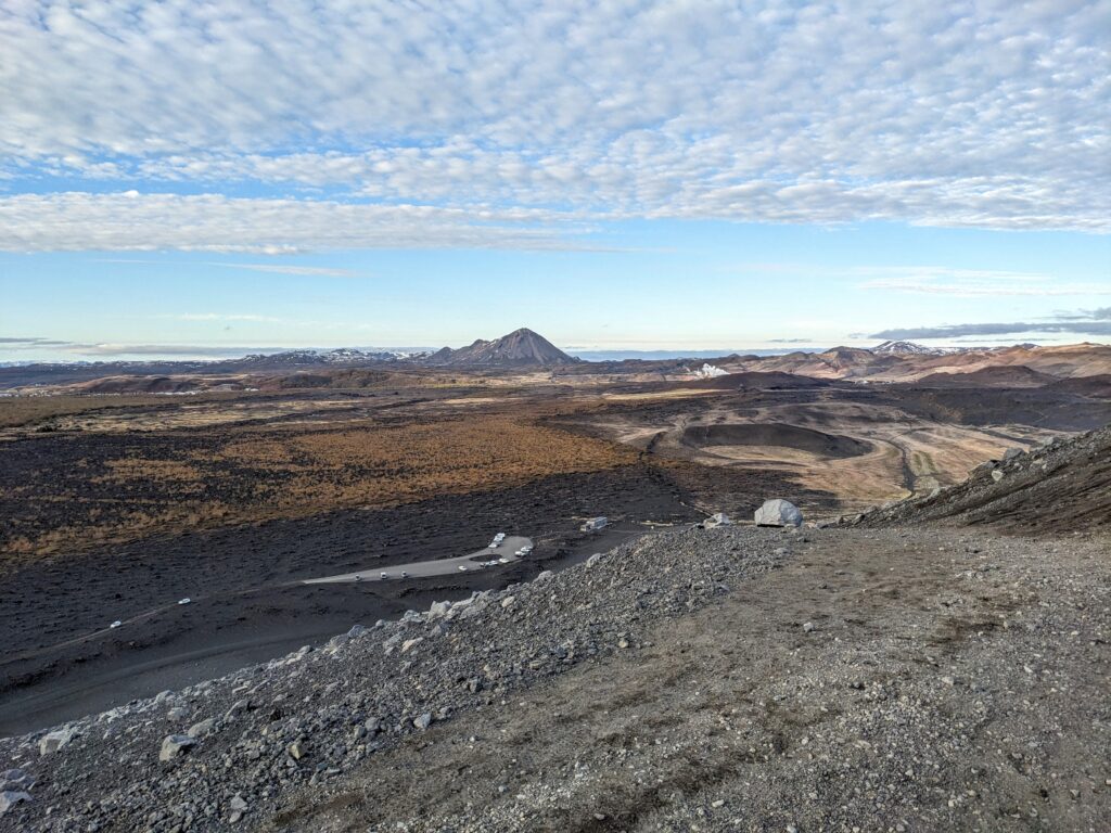
We continued east to Lake Mývatn, which sits in an active volcanic area in northern Iceland. On its eastern shore lies Hverfjall, a perfectly round tuff cone, 1 km in diameter, formed by a volcanic eruption more than 2500 years ago. We clambered up the roughly 100 m of elevation to the rim of the cone and peered into the central crater, which was devoid of any forms of life, giving the whole area the impression that it was only formed yesterday. We spent a few minutes walking around part of the rim and admiring the amazing view across the Mývatn region, before Alex loudly decreed that it was time to return to the car for a(nother) nap.
Stop 3: Dimmuborgir lava field

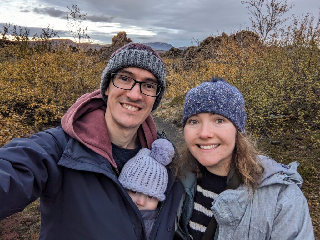
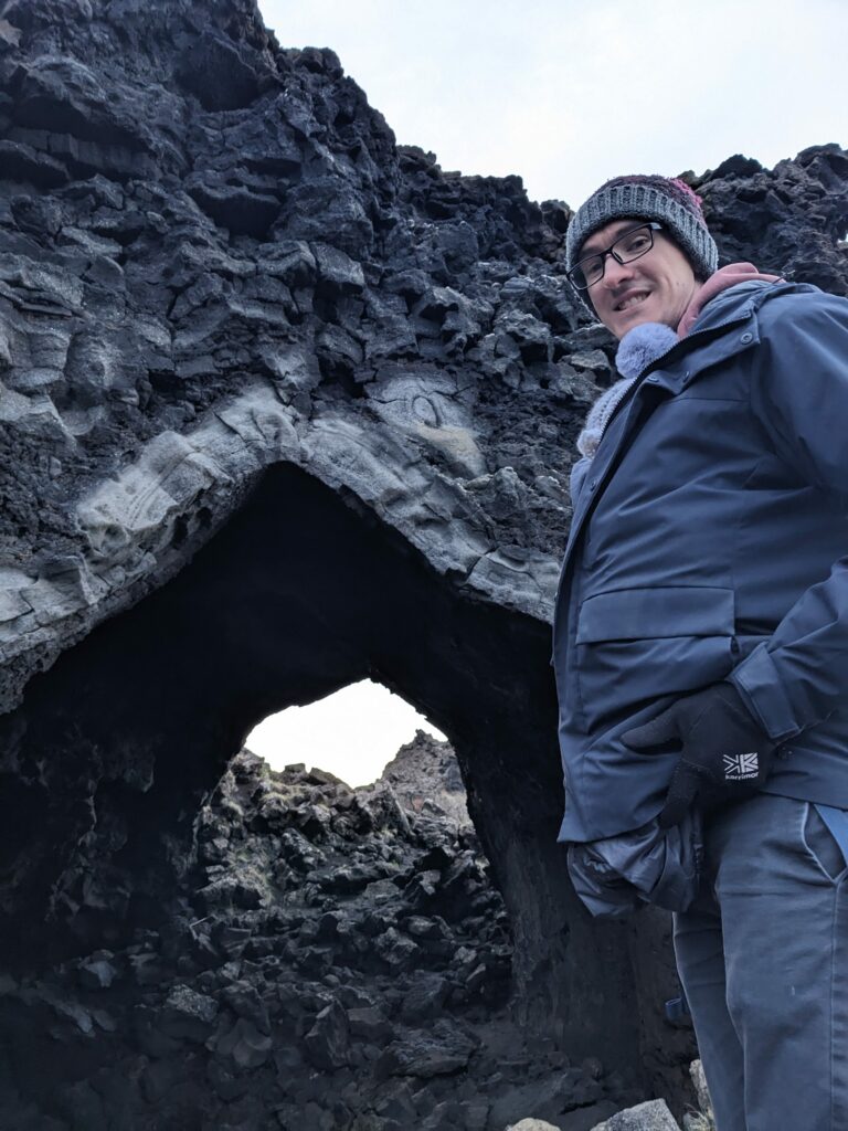
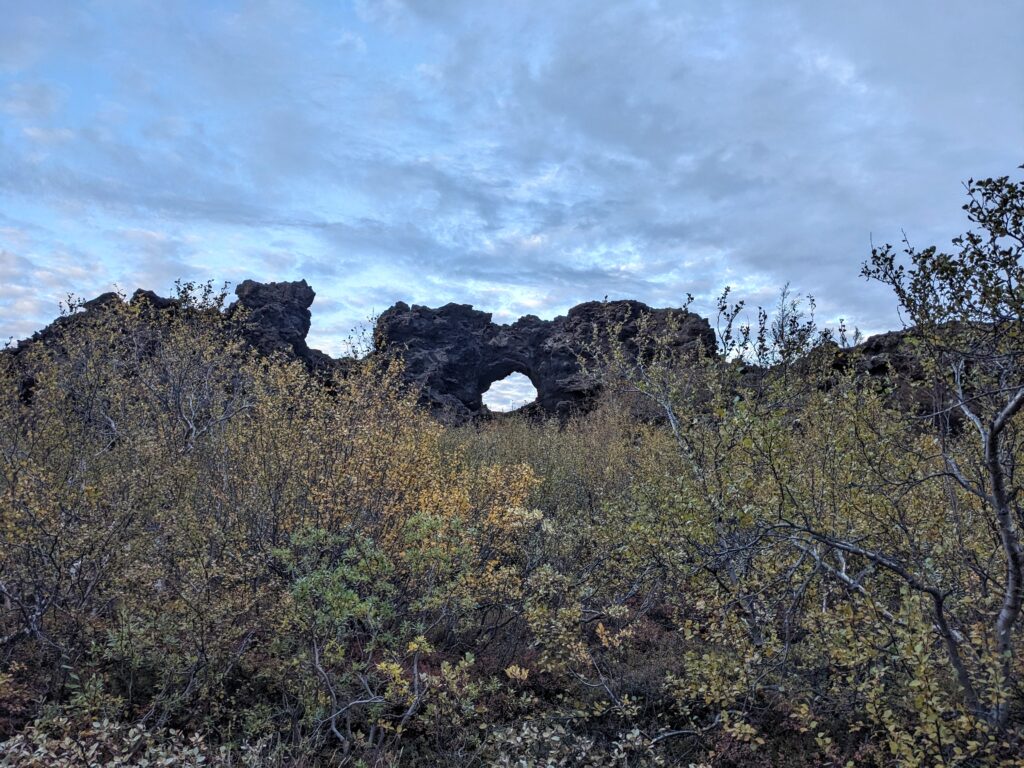
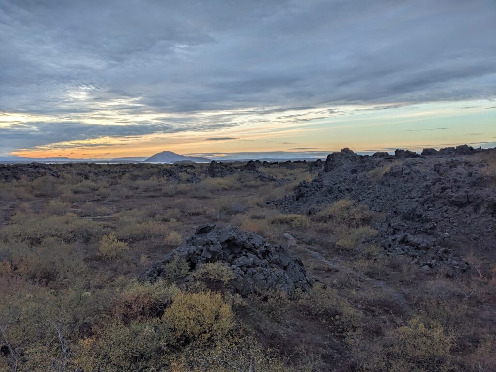
Just between the Hverfjall volcano and Lake Mývatn lies the Dimmuborgir lava field. This lava field was quite different to the mossy, bobbly field we walked through on the Snæfellsnes Peninusula, as it was formed when lava flowed over a lake, boiling the lake’s water and producing water vapour. This water vapour rose through the layer of lava, leaving behind strange columns of rock and other hollow structures. One such structure is “The Church”, a rock cave with an arched roof that looked like it was man-made rather than occurring naturally!

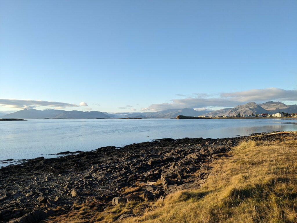
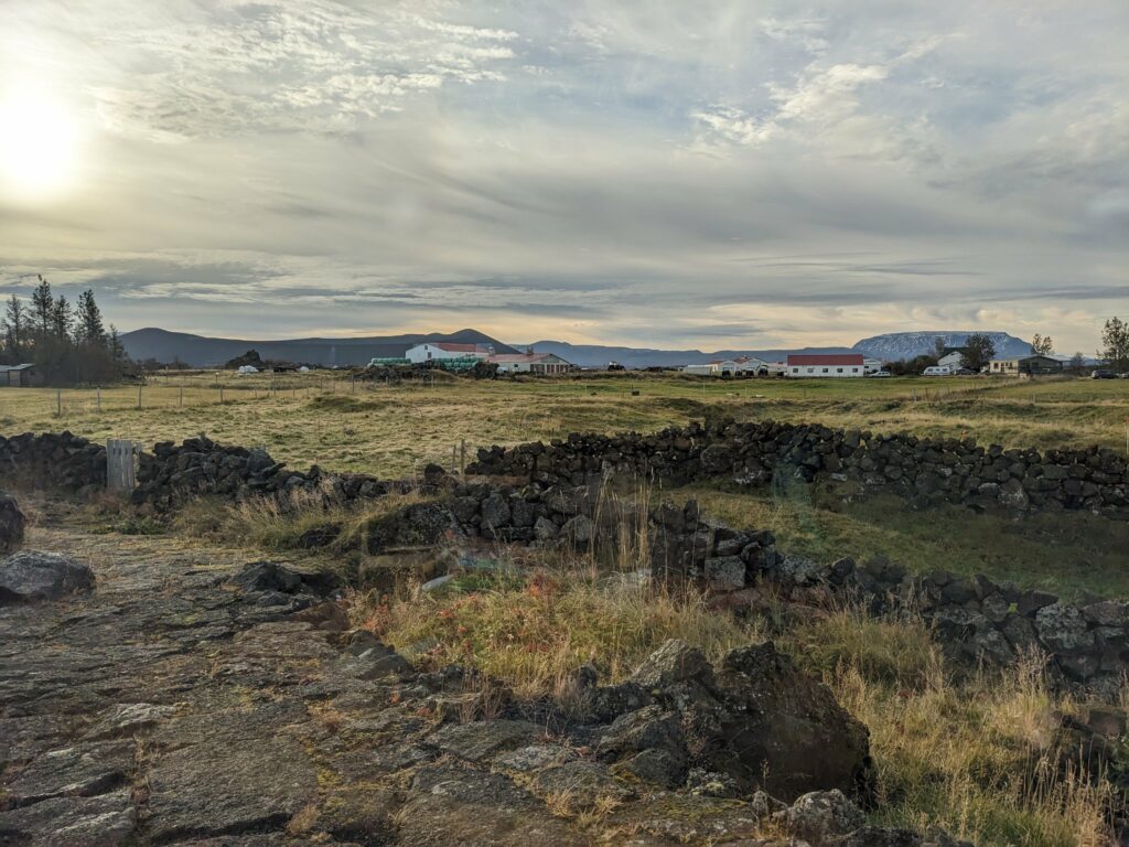
That night, we stayed at the nearby Vogafjós Farm Resort. Here we had the chance to try Geysir bread – a sweet rye bread baked underground using geothermal energy. It was absolutely delicious paired with another local speciality: salty, marbled pieces of smoked lamb. I’d include some food pics but we’re out of practice and forgot to take any, so instead have a view from breakfast instead!

Stop 4: Dettifoss

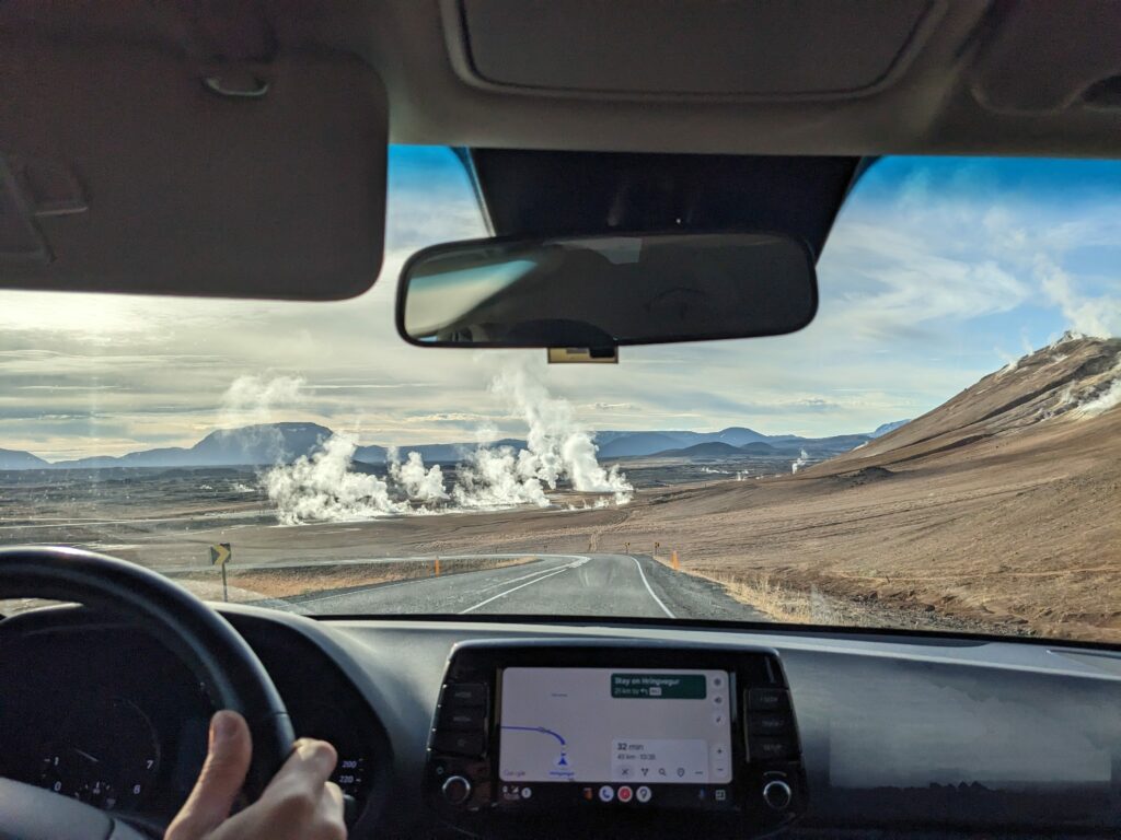
As we left the lake we passed the Hverir geothermal area, which was releasing vast amounts of steam straight from the ground, as well as a rather strong smell of sulphur.

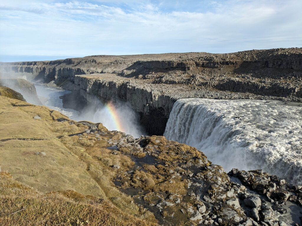
Our last stop in the area was at Dettifoss. This waterfall holds the record for being the “most powerful” waterfall in Iceland, as a product of both its height and flow rate. The weather was cold but clear, allowing the sun’s rays to paint a rainbow in the spray as it was carried away from the waterfall by the wind.


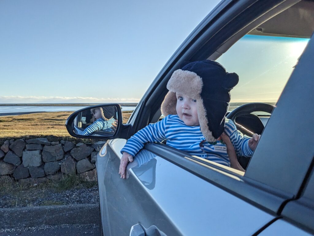
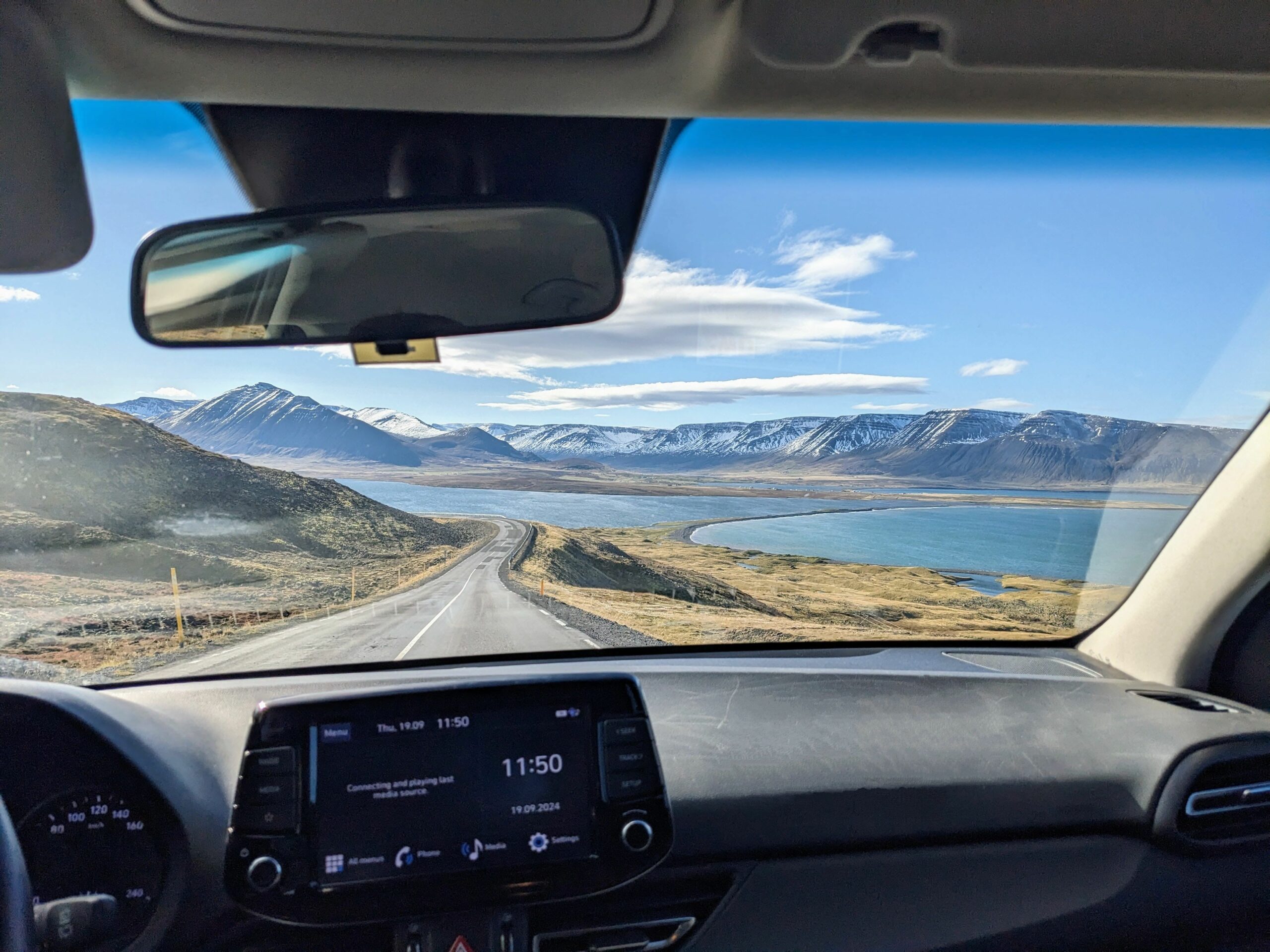
As northern Iceland began to fade into our rear view mirror, it was time to put our foot down as we headed towards Neskaupstadur, a town on one of Iceland’s easternmost peninsulas.

Driving the Troll Peninsula of northern Iceland 🧌

After a night staying in a huge old farmhouse where Alex had his first ever kitchen-sink bath (surely a rite of passage), we set off in the driving rain excited to be heading north. Our destination was Tröllaskagi, better known as the Tröllaskagi Peninsula (although this translates as the Troll Peninsula Peninsula, nearly but not quite RAS syndrome!). We’d read that this was an absolutely spectacular and worthwhile 186 km detour from the ring road.

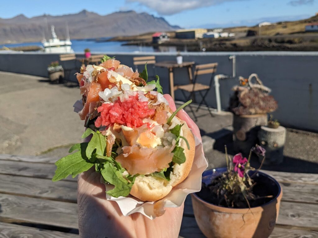
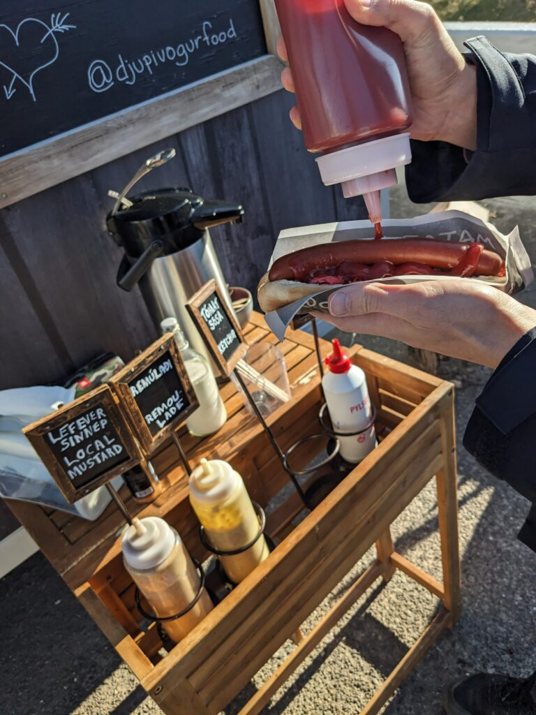
On the way, Alex outdid himself and required a full outfit change (I’ll spare you the details) so we made an unscheduled stop in a service station. This was a pretty lucky find since it’s still the only one I’ve seen – despite being the country’s main trunk road, most of the ring road is seriously remote. Anyway, this pitstop gave us the perfect excuse to try a gas station hot dog, which we’d read was an Icelandic snack with cult status. We had ours topped with a mix of fresh and crunchy fried onions and as Oli said, they tasted way better than they had any right to taste. I’m already planning my next one!

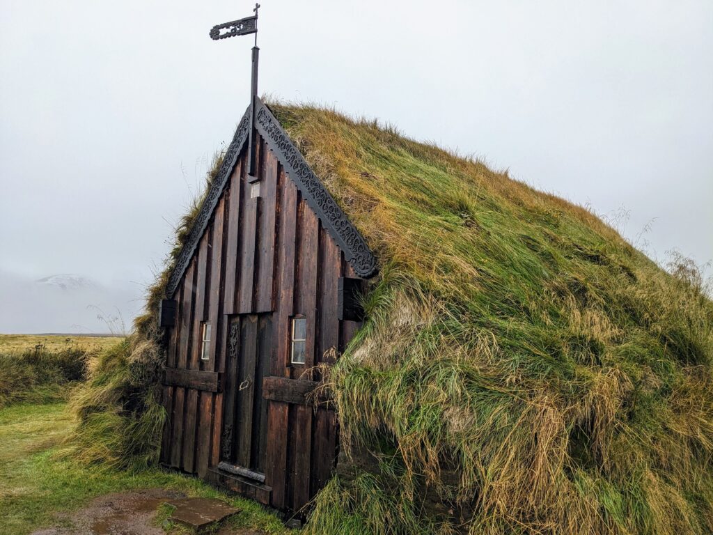
Now way behind schedule (a running theme) we continued our journey north onto the peninsula. Our first stop was Grafarkirkja, a tiny turf-covered church built in the late 17th century that is in the running for the oldest church in Iceland. However, the plot twist upon arriving was that it had actually been rebuilt in 1953! Either way, it was good to see one of Iceland’s iconic turf roofs up close, and the setting would have been gorgeous had we been able to see the surrounding mountains through the rain and cloud…
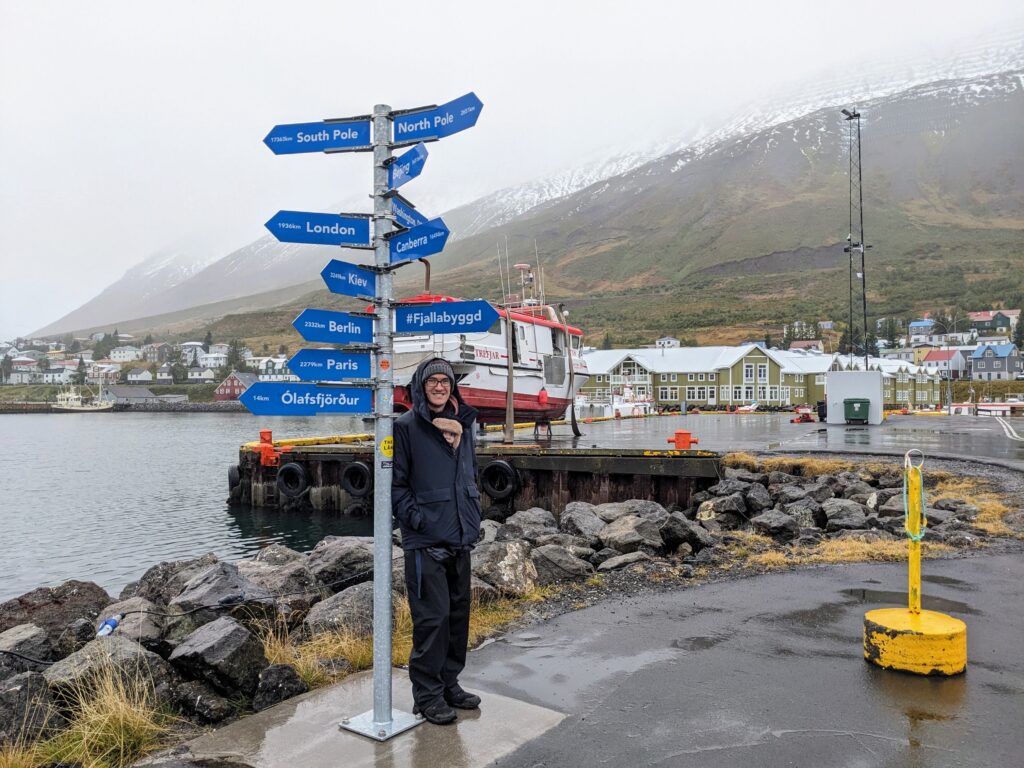
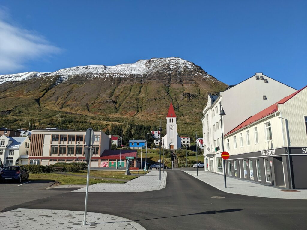
We continued round to Siglufjörður, a small town at the northern tip of the peninsula and our stop for the night. We knew that the only way in and out of town (other than by sea) were a set of tunnels, but we were still taken by surprise when we entered a tiny single track tunnel on what had previously been a fairly fast road. It made for a very nervewracking couple of kilometres, unsure if we were going to meet anyone in the dark!

Even in the rain, we liked Siglufjörður straight away. It had an atmospheric, end-of-the-road feel, but just enough services not to make me panic that I might run out of coffee.

The next morning dawned beautifully clear and bright (and we heard that we’d missed the Aurora AGAIN!). We decided to backtrack a little way to see some of the scenery we’d missed the previous afternoon, which was a great decision for two reasons:

  1. It really was as spectacular as billed
  2. We solved the tunnel mystery! (It turned out the other direction was very clearly instructed to give way into small passing spaces. This still seemed a bit mad but thankfully there really wasn’t much traffic)

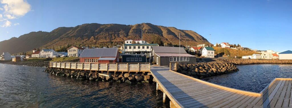
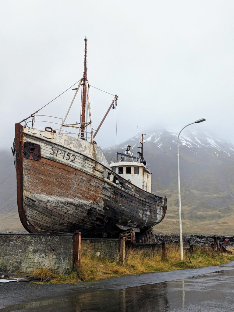
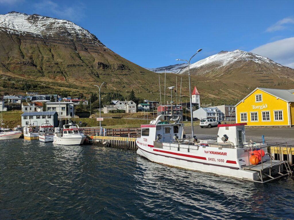
Once back in town, we took some time to wander around the harbour and enjoyed the brightly coloured buildings, bobbing fishing boats and snowcapped mountains in the clear Nordic light.

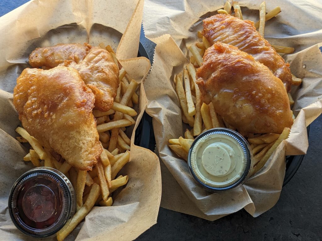
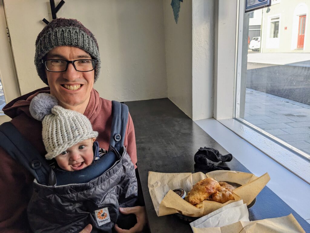
Then it was time for the main event: fish and chips! Surrounded by the sea as it is, it’s no surprise that this is a key comfort food in Iceland. We had two beautifully fresh pieces of cod each, served on some crunchy french fries (which seemed wrong at first because we’re so used to thick-cut chips, but they definitely worked). I had mine with remoulade, an Icelandic take on the French sauce that I’ve since read is often served on hot dogs here. Oli had his with sweet and sour sauce (the less said about that the better – you can’t reason with some people). It might have been a more relaxed experience if it weren’t for Alex squawking loudly throughout, but thankfully the friendly owner assured us that he had four boys at home and totally understood. Phew!
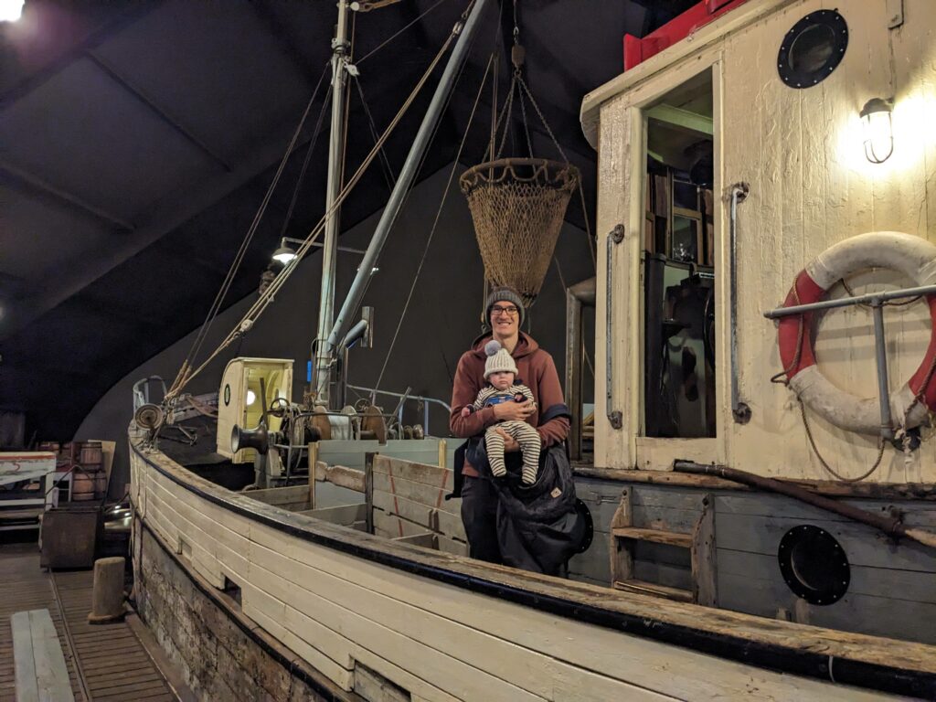
Our penultimate stop for the day was the Herring Era Museum, which had come highly recommended and was definitely worth a visit, despite us never having spared a thought for herring beforehand. The museum was set across three harbourfront warehouses and told the story of fishing, processing and salting the herring that used to be the town’s main livelihood – that was, until the herring ‘disappeared’ in the 1960s. There wasn’t much acknowledgement of why this had happened, but we assume over-fishing.
To be honest, my favourite part was probably the exhibition of Troll and Yule Lads illustrations that appeared without context on the upper floor of one of the warehouses. I have no idea what this had to do with herring (very little, I assume) but I knew that folklore was important in Icelandic culture. It was pretty fascinating to see these illustrations by the artist Brian Pilkington, who hails from Liverpool but whose work is apparently recognisable to all Icelanders and has helped shape what these characters look like in the collective imagination.

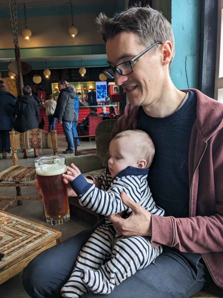
We rounded off the day with a quick drink at Segull 67 Brewery, where Alex spent his time desperately trying to grab our beers from us, I sulked that they’d run out of stout, and Oli just tried to enjoy his beer in peace.

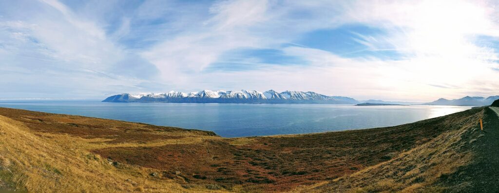
Then it was time to skip town, via some more tunnels and gorgeous scenery. We counted ourselves incredibly lucky with our timing – September is firmly shoulder season here (and counts as winter for most shop, restaurant and museum opening times), but we managed to get the best of both worlds with some beautiful weather but also the first snow on the mountains.

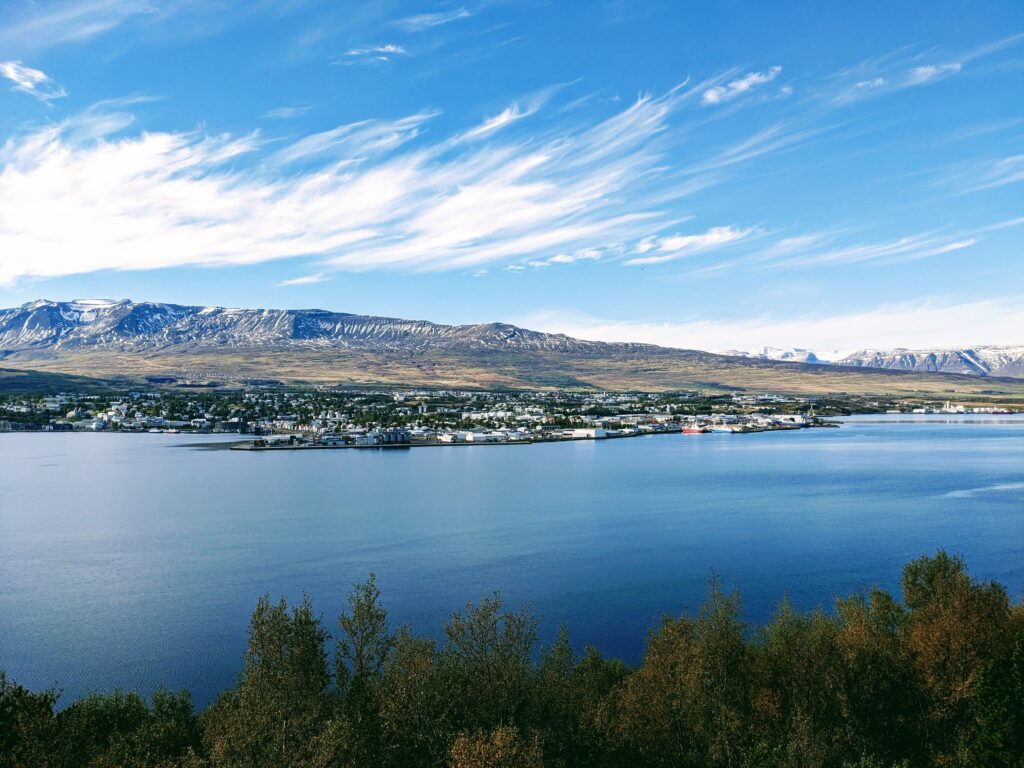
We ended our exploration of Tröllaskagi in Akureyri, Iceland’s second city. Ever heard of it? I wouldn’t blame you if not – its population is less than 20,000! From here, it was time to see what else northern Iceland had in store for us.

Akureyri from across the fjord

Four seasons in three days along Iceland’s west coast

After landing at Keflavik airport, our plan was to spend a couple of days in Iceland’s capital, Reykjavík, before setting off on the first leg of our road trip along Iceland’s west coast. From Reykjavík, this leg took us past the Friðheimar tomato farm, along the crest of the Mid-Atlantic Ridge in Þingvellir National Park, and ended up at the tip of the volcanic Snæfellsnes peninsula. As promised, Iceland delivered nearly four seasons of weather in almost as many days! 😬

However, our plans almost went out of the window when our outbound flight was cancelled, but we managed to rebook onto a similarly-timed flight the next day. To be honest, we really should have booked this flight anyway, as it gave us an extra day to get ourselves sorted ahead of our departure. Alex seemed to quite enjoy his first trip to 30,000 ft, and fortunately he’s no stranger to starting his day at 4:30am.

Reykjavík ☀️

We landed at Iceland’s international airport in Keflavik, picked up our car, and made a beeline for Reykjavík. While the journey had only taken 8 hours from door to door, we’d already produced nearly a full load of laundry, so thank goodness we’d booked an apartment with a washing machine – travelling with a baby is no joke!

Reykjavík

We were so fortunate to arrive in Reykjavík on a cloudless day, with the autumn sun showing off the city’s multi-coloured buildings in their best light. All roads in Reykjavík seem to radiate out from its most recognisable landmark – the Hallgrimskirkja Lutheran church. Its striking design is somewhat circular in origin – the church facade is intended to resemble the columnar basalt rock formations found across Iceland, which themselves are often referred to as “organ pipe” rock formations.

Hallgrimskirkja church

We enjoyed both the church’s exterior from ground level and the views over the city from the top of its clock tower. I say “we”, but Alex slept through the whole experience, including the deafening bells which chimed every 15 minutes!

Inside Hallgrimskirkja’s clock tower

Reykjavík has every municipal service that you’d expect from a big city (e.g. an airport, a national museum, a large hospital etc.), but their close proximity and perfectly groomed appearance gave Reykjavík an almost a toy-town feel when viewed from above. For example, it would take just 18 minutes to walk from the city centre to the domestic airport!

Friðheimar tomato farm & Þingvellir National Park 💨 🌧

From Reykjavík, we took a significant detour east to the Friðheimar tomato farm for lunch. This farm manages to grow tomatoes in greenhouses all year round, despite Iceland’s dark and cold winters. The greenhouses are kept warm by geothermally-heated water which is circulated in pipes, and the greenhouses are lit using electricity generated by hydroelectric and geothermal power plants. One staff member told us that the whole operation uses as much energy as a town of 7,000 people, but, as she casually added, “energy in Iceland is free”. While this might not quite be true, they certainly have no shortage of renewable energy, and I since learned that Iceland even has plans to share its energy with the UK via a subsea eletricity interconnector.

With our bellies full from the tomato-themed menu (including all-you-can-eat tomato soup and the most incredible bread buffet) we turned back towards the ringroad, stopping in Þingvellir National Park en route, which lies on the Mid-Atlantic Ridge at the meeting of the North American and Eurasian tectonic plates.

Despite the inclement weather, we braved the walk between the plates, which continue to separate by 25 cm each year. While Alex has been less than impressed with his new car seat in the hire car, he didn’t seem to mind getting battered by the gale-force wind and rain as we emerged on the crest of the ridge.

Snæfellsnes Peninsula 🌦

Our last stop on Iceland’s west coast was the Snæfellsnes peninsula, which juts out west towards Greenland and culminates dramatically in the Snæfellsjökull volcano.

Since climbing the volcano is a serious affair and only possible with a guide, we opted for a more leisurely stroll through a lava field and down to a black sand beach.

The beach was littered with rusted debris from an English trawler that had wrecked on the rocks nearly 60 years ago. Somehow, an Icelandic rescue team from a neighbouring village managed to save five of the nineteen crew from the icy waters below.


We left the peninsula via a 53 km gravel road (!) which crossed the ridge and followed the north coast inland towards a farmhouse beside Lake Hakadalsvatn, our lodging for the night and final stop before heading towards Iceland’s wild north.